


 Reply With Quote
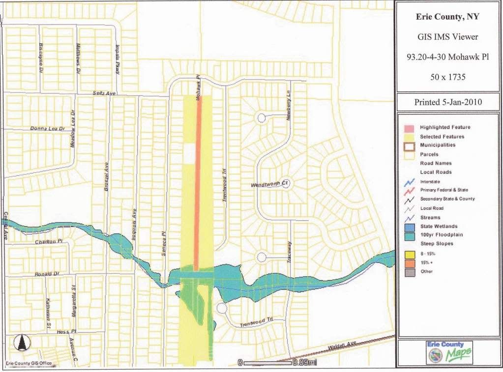
I printed and scanned. If I zoom in to the point where all the parcel numbers are indicated, it won't fit on the print screen.
The yellow area is Mohawk Pl. The red area is parcel 93.20-4-30 (50' x 1735'). How could anyone fathom a development on a strip of land no wider than a road?


")
